
East Point ZIP Coverage
Three ZIP codes have verified East Point ties. Their routes overlap Atlanta, College Park, and South Fulton postal areas, so the East Point ZIP code directory must describe connections rather than draw false city borders.
| ZIP | East Point connection | Post office | Key caution |
|---|---|---|---|
| 30344 | Downtown, established residential city, East Point station | East Point, 2905 East Point St | USPS may standardize the city as Atlanta |
| 30337 | Northern and airport-side areas, Norman Berry corridor | College Park, 3799 Main St | Shared with College Park |
| 30349 | Western and southwestern parcels, including Center Park | Old National, 2385 Godby Rd | Extends well outside East Point |
Official city sources name 30344 and 30337, place the Historical Society in 30337, and list Center Park in 30349. Those facts prove overlap. They do not make every address in any one route an East Point address.
Why East Point Says Atlanta
The East Point-named post office provides the clearest postal quirk. USPS standardizes the facility's own address as “ATLANTA, GA 30344-4202,” even though it is physically the East Point station. Postal city names guide mail delivery. They are not findings about municipal jurisdiction.
The station at 2905 East Point Street lists retail hours Monday through Friday from 9:00 a.m. to 5:00 p.m., while PO boxes are accessible around the clock. A person researching city records should not route a request to Atlanta merely because an automated address uses Atlanta in the last line.
Search One East Point ZIP
No official portal was verified as a public roll of all residents in one ZIP. The sound East Point ZIP code directory method narrows from a mailing address to official property geography.
- Enter the street address, unit, city, and state in USPS ZIP Lookup.
- Keep the standardized ZIP and ZIP+4, but do not infer the city boundary from them.
- Open Fulton GIS or QPublic and search the property address. Capture parcel ID and tax district.
- Compare the parcel with East Point's ward, street, and neighborhood maps.
- Once the street is known, use the East Point street directory for address-level records.
QPublic's documented main modes are parcel ID, owner, and property address. A dependable stand-alone ZIP filter was not verified. Fulton GIS can select parcels spatially, but it does not advertise a ZIP-wide resident export.
USPS Fields for East Point
The USPS form is the authoritative address-to-ZIP check. Its fields help clean a mailing address before another portal is searched.
| Field | Input | Use in the lookup |
|---|---|---|
| Street Address | Number and street | Core delivery location |
| Apt/Suite/Other | Unit detail | Distinguishes delivery points |
| City | Mailing city | May be standardized by USPS |
| State | Georgia | Limits the search |
| ZIP | Optional by mode | Tests or completes the address |
Use Find to return the standardized result. The form's answer settles mail routing, not the parcel's municipality or county tax district.
Map East Point Postal Edges
East Point's neighborhood planning and map hub links city streets, wards, neighborhood associations, zoning, Fulton GIS, and QPublic. Those layers let a reader compare several types of boundary without pretending they coincide.
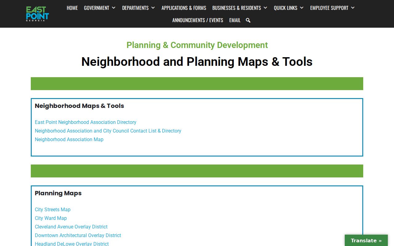
The map hub supplies the municipal context that a postal result lacks.
Core local geography includes Colonial Hills, Semmes Park, Frog Hollow, Historic Conley Hills, Jefferson Park, Center Park, and downtown. ZIP routes may divide those identities, while association lines need not follow a ZIP or ward.
Confirm East Point Parcels
Fulton parcel data splits a situs address into number, direction, street, suffix, postdirection, unit type, and unit. “Situs” means the physical property address. It is separate from the owner's mailing address, which may be outside East Point. Search failures often come from an omitted direction or suffix.
Fulton County property services provides online and office routes when the map or assessor search fails.
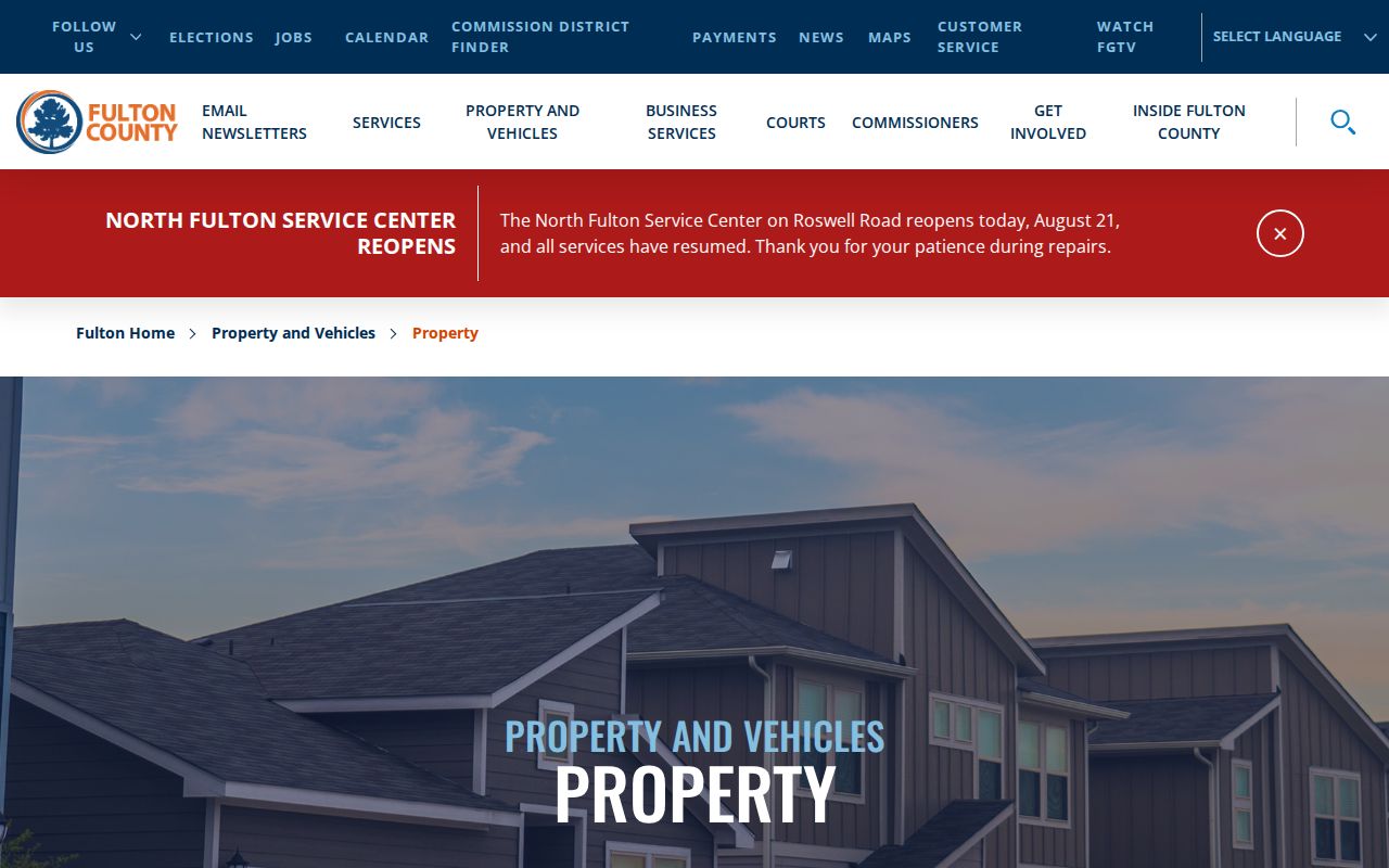
The county route ties the standardized mailing address to the parcel and tax record.
East Point GIS Checks Jurisdiction
The parcel ID is the stable current tax key. Subdivision, lot, and block fields link a parcel to deeds and plats, while older instruments may use land lot, district, or metes-and-bounds descriptions. ZIP codes do not replace any of those legal location fields.
Inspect the Fulton parcel GIS layer when checking a property near an East Point edge.
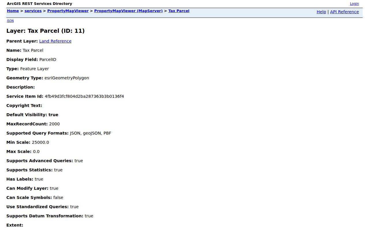
The spatial layer lets a parcel be checked against mapped geography instead of a mailing label alone.
East Point Boundaries Differ
East Point grew around the Atlanta and West Point Railroad terminus and annexed Overhill Hills in 1972. Annexation can change city custodians or tax districts without changing a postal ZIP. The East Point ZIP code directory therefore cannot serve as a history of the city limit.
- ZIP
- A USPS routing area, not a municipal boundary.
- ZIP+4
- An added delivery segment that narrows a block, building, or group of addresses.
- PO-box ZIP
- A code used for post-office boxes rather than a mapped residential district.
- Unique ZIP
- A code assigned to one large organization. None was verified for East Point.
- Carrier route
- A mail-delivery path that may cross local civic boundaries.
No East Point ZIP Roll
Georgia My Voter Page asks for personal identifying information and county, not a ZIP-wide browse. Purchased voter products are organized by county, municipality, district, and precinct rather than advertised ZIP searches. QPublic focuses on parcels, owners, and property addresses. GIS works through maps and spatial selection.
That gap is meaningful. “30344 resident” does not always mean “East Point resident,” and an East Point parcel need not use 30344. Use a ZIP code for mail, GIS for place, and the named custodian for the record sought. No official split year, PO-box-only local code, unique institutional code, or city-only population count by ZIP was verified, so none should be inferred from broader Census ZCTA totals.
Build a Clean East Point Address
A valid ZIP search depends on more than the five-digit code. Fulton parcel data stores number, predirection, street name, suffix, postdirection, unit type, and unit as separate parts. Entering “Washington” without the right road type or direction can miss a parcel even when the ZIP is right. USPS standardization may also return a city line that differs from the municipality shown on a city map.
Keep three versions in the research notes: the address as supplied by the source, the USPS-standardized mailing line, and the parcel's situs line. Also record parcel ID, subdivision, lot, and block. These fields let a later search survive a mailing-city change or a street-label variation. The owner's mailing line must remain separate because it can point outside East Point and says nothing conclusive about who occupies the situs.
East Point city forms include an Address Creation/Change application, which confirms that Planning and Permits participates in address assignments and changes. No citywide renumbering year was verified. For one disputed address, request the particular address file rather than assuming a broad event changed every number.
East Point Neighborhoods Cross ZIPs
East Point describes more than 25 neighborhoods. The 2005 Livable Centers Initiative identifies Colonial Hills, Semmes Park, Frog Hollow, Historic Conley Hills, Jefferson Park, Center Park, and downtown as core geography. A neighborhood can cross a postal route, and a neighborhood association boundary can differ from the city ward and the assessor's neighborhood field.
This distinction changes how a ZIP code directory should be used. Search the postal code to clean the mailing address. Use the neighborhood map to understand local identity. Use the ward map for city representation. Use GIS and the tax district to test jurisdiction. None of those layers can safely stand in for all the others.
Building form adds a useful but limited check. Downtown-adjacent bungalows, cottages, and Cape Cod houses often point toward early maps and directory volumes. Brick ranches on larger lots may lead to postwar plats, permits, and Haines address books. Architecture helps select sources; it does not prove which ZIP or city contains a parcel.
What East Point ZIP Evidence Proves
A USPS result proves the standardized delivery format for the address entered. A Fulton GIS result identifies a mapped parcel and exposes its location fields. QPublic connects that parcel to assessment data. East Point maps show civic layers such as wards, streets, zoning, and neighborhood planning areas. Use the records together and state the conclusion narrowly.
For example, a Center Park address in 30349 proves that at least one official East Point place uses that route. It does not prove that all of 30349 lies in East Point. Likewise, the East Point station's Atlanta mailing city proves USPS convention, not that the station is governed by Atlanta. This is the key discipline behind reliable ZIP-based research.